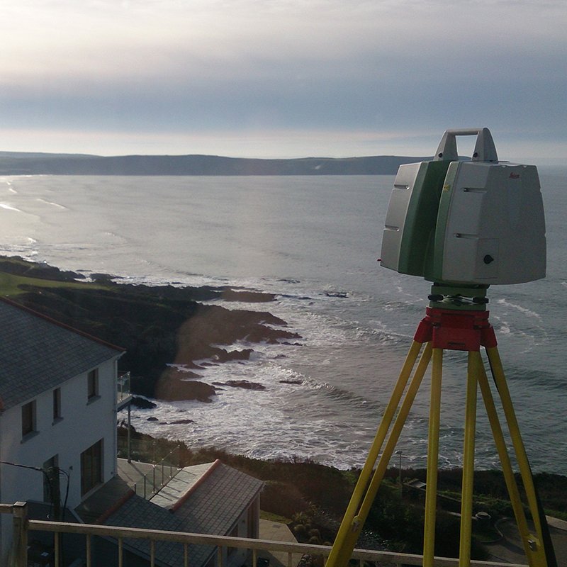
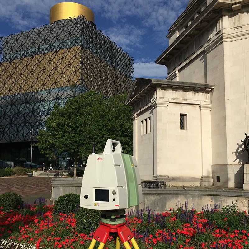
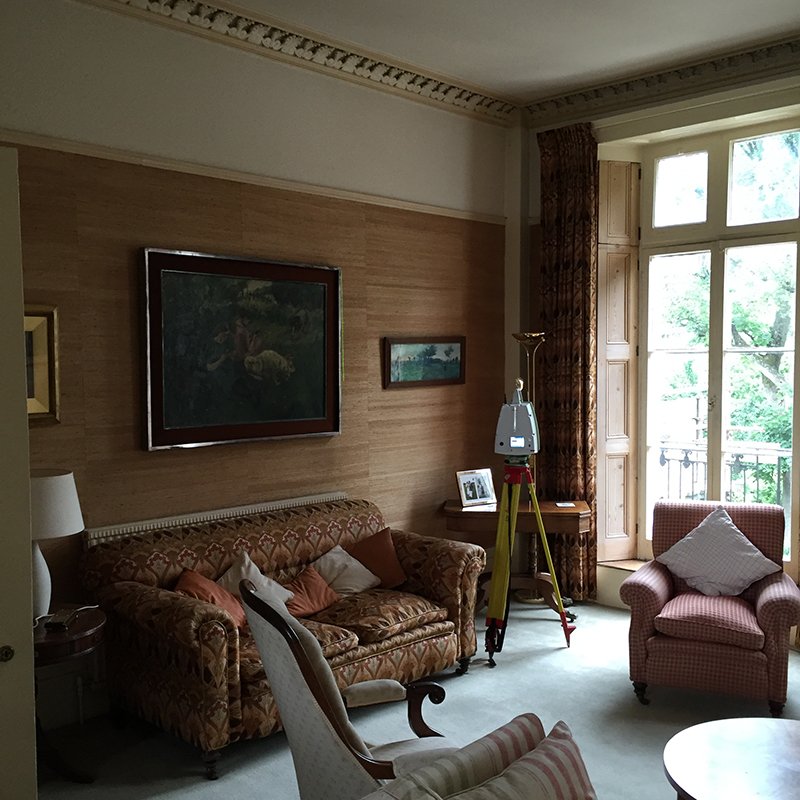
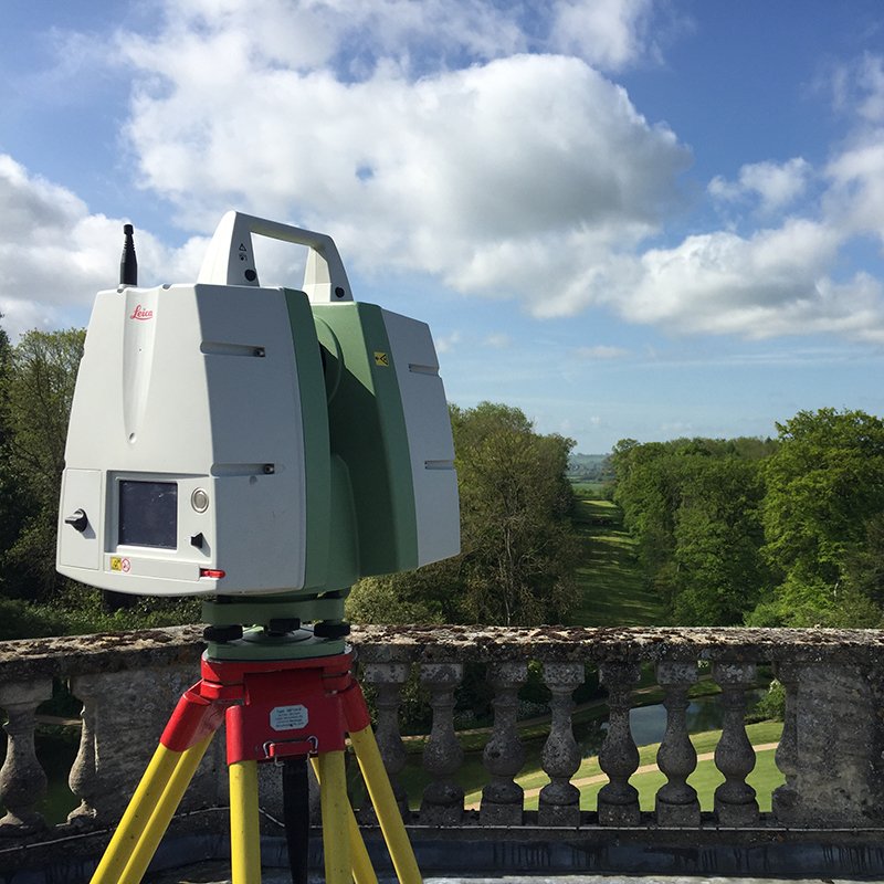
This is an extremely accurate method of surveying and enables the shape and size of any structure to be recorded and exported to a variety of digital formats.
Processed Point Cloud data can be provided along with fly through visualisations enabling presentations to be quickly produced and viewed. Viewing and basic measuring software can also be issued as a package, via our Jetstream viewer.
3D laser scanning provides an ideal platform to produce a BIM ready model, for example Revit.